Protecting Rincón’s Coastline. Sustainably.
Rincón is Under Attack!
Federal and local agencies aim to take and destroy First Row (beachfront) properties. If allowed, Second & Third Row properties will be taken in future stages of the project. Our beloved community will become unrecognizable.
We demand a sustainable solution to combat coastal erosion, not one that calls for the destruction of an entire town. We advocate for beach nourishment and the construction of dunes, a solution that’s been successfully implemented all across the world. Beach nourishment is one of 4 alternatives considered in the Coastal Study but is currently not the selected one for Rincón. Let’s work to change that!
This canal, located within the targeted project zone, was built in the early-90s, causing sand to rage out to sea and not to return.

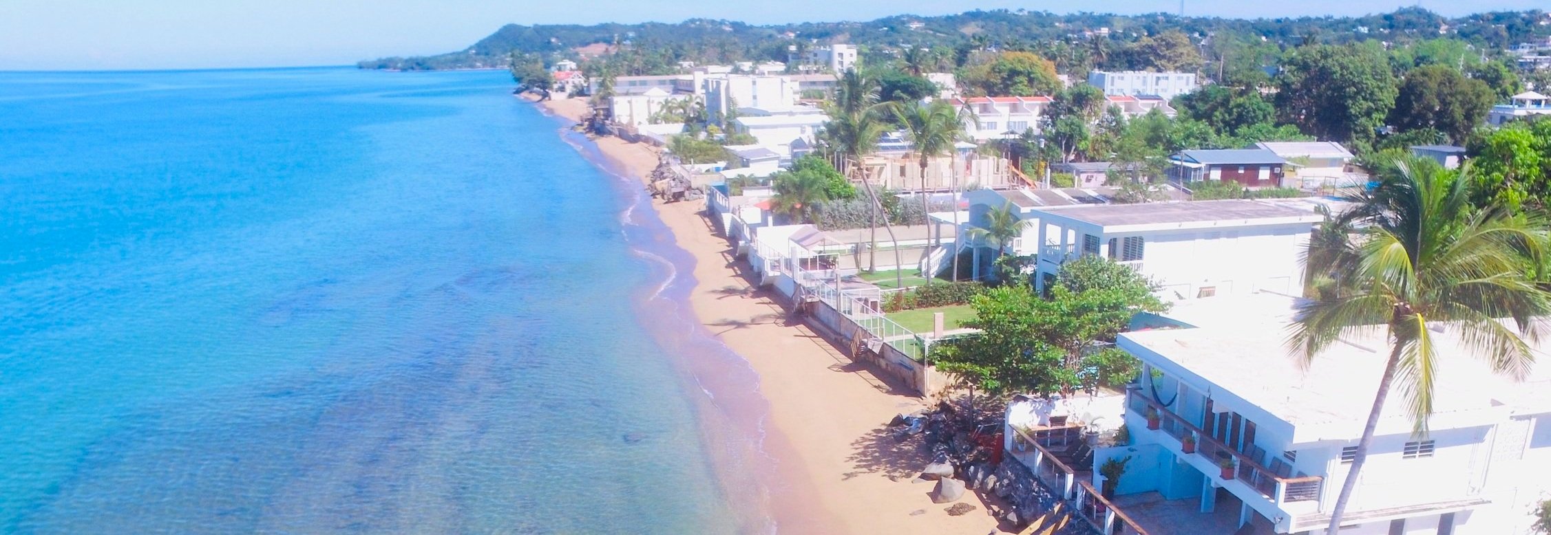
Stage 1 (of ?): the targeted project zone, outlined in yellow, includes the iconic Villa Cofresi and 70+ of its neighbors.
From 0:45 to 2:27, this Jan 2024 video shows the well-kept targeted properties. Footage before and after shows non-targeted coastline. The infamous canal appears 2:27-2:31.
An Infamous Canal.
The Transformation of Quebrada Los Ramos
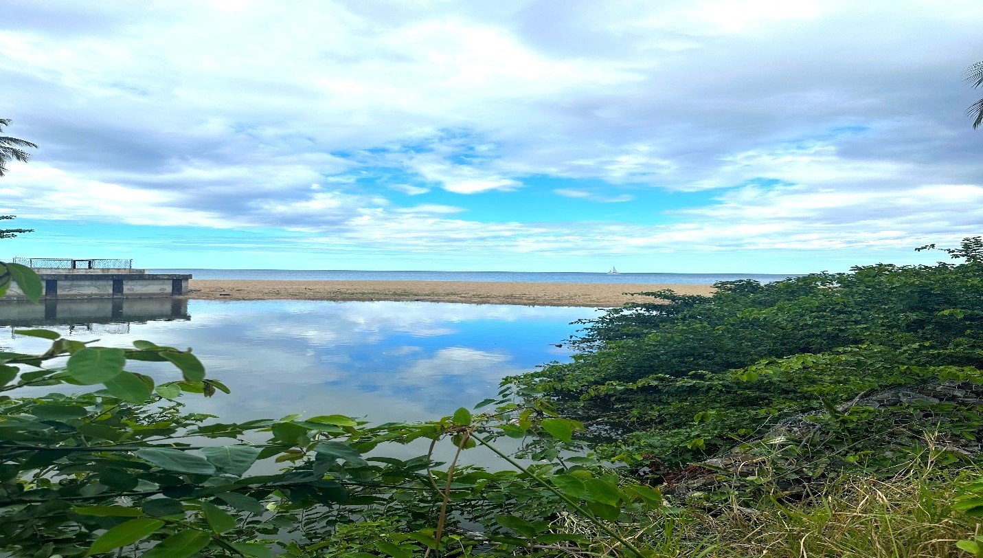
Quebrada Los Ramos, located at the northern edge of our focus area, was once a tranquil low-volume creek. This changed dramatically in the early 90’s when the U.S. Army Corps of Engineers, in partnership with CRUV (now known as the Housing Department of Puerto Rico), undertook a canalization project to mitigate flooding. The immediate aftermath brought unintended consequences that have since shaped the shoreline of Rincon. The background image here shows a section of the canalized creek.
Erosion and Accumulation: A Balancing Act Gone Awry
The canalization introduced a recurring phenomenon: a sand berm, shown here, that separates fresh water from the sea is periodically breached by rising water levels, resulting in the violent expulsion of sand into the ocean. This event, capable of occurring multiple times each rainy season, suggests a slow but undeniable progression of erosion south of the canal, contrasted by sand accumulation to the north. (see the above video).
Proposed Solutions for a Sustainable Shoreline
To address the dual challenges of erosion and accumulation, a two-phase solution is proposed:
1. Initial Phase: Rock Barrier
The installation of a large rock barrier at the canal’s mouth aims to regulate water flow, maintaining levels that prevent destructive breaches. This measure is designed to immediately address the urgent erosion issue.
2. Future Phase: Deep Drainage Tube
To build on the initial stabilization, a deep drainage tube could be installed beneath the sand. This not only promises further erosion control but also fosters the creation of a fish ecosystem, enriching local biodiversity and offering community benefits like enhanced fishing and natural beauty.
Adjacent to the canal, Bajo Blanco sand flat highlights the canal’s redistributive impact on sand, serving as a prime source for beach nourishment. See the animated graphic below (see also the Bajo Blanco study).
The canal pushes sand just north to create the Bajo Blanco sand flat, which in turn creates a perfect source for beach nourishment.
Cost-Effective and Community-Centric
The combined cost of these interventions is estimated at $5-10 million, starkly more efficient than the USACE’s proposed $100+ million project. Given the significant community and environmental stakes, a thoughtful pause on the USACE project is advocated to allow for comprehensive study and consideration of these proposed solutions.
Looking Ahead
As Rincon faces these shoreline challenges, the proposed approach not only seeks to mitigate immediate concerns but also to enhance the area’s ecological and social fabric. We invite community input and support as we navigate towards sustainable shoreline stewardship in Rincon.
Top 10 FAQs

-
A: In summary, the U.S. Army Corps of Engineers (USACE) is proposing the acquisition and demolition of 70+ “first row” (i.e. beachfront) properties along a 1.1 mile stretch of west-facing coastline in Rincón. The primary purpose is to give the public the big public beach it once had, albeit moving said beach inland to overtake private properties. Inexplicably, a select few properties within the identified zone appear to have been granted immunity from the plan.
-
A: The Puerto Rican government is responsible for the property acquisition expense, which many economists expect to exceed $100 million. The Federal government would finance the demo and construction work. Additionally, other infamous “takings” cases reveal that substantial litigation is inevitable, resulting in increased expense while also bringing into question the project’s viability.
-
A: No. Most view the current plan as merely Stage 1. If “first row” properties are destroyed, as the Tentatively Selected Plan calls for, many experts forecast that the next row of properties will face the same fate within a few years. And then the next row, and the next row, etc. It’s been suggested that the Econo is not safe if the proposed plan is executed. Rincón could become unrecognizable, with taxpayers subsidizing a potentially endless coastal retreat.
USACE recently conceded, "Depending on the future erosion rate, the next row of homes could see damage into the future," a blatant admission that their proposal lacks sustainability and jeopardizes the entire community.
-
A: Various sources affiliated with Rincón project planning suggest that the local Municipality - whose voice is given the most weight by USACE in such matters - did not fully cooperate with the exploration of alternatives. Many calls for information went unanswered.
-
A: Wrong. USACE’s history of costly and destructive miscalculation is so pronounced that major news outlets have taken to publishing exposés on the topic. A recent propublica.org article highlights some of the more disastrous projects, adding that “In 1971, the New York Times editorial board declared ‘the American people are becoming increasingly fed up with the expensive, boondoggling, make‐work, environmentally destructive projects that to a large degree characterize the civilian activities of the Army’s Corps of Engineers.’”
In the half century since the above declaration was made, the agency’s propensity for miscalculation is as prevalent as ever.
-
A: The study’s Alternative 3 for Rincón is beach nourishment (see definition here), along with the construction of several vegetated dunes and groins to hold the sand. The option was seemingly only briefly considered, abruptly dismissed due to inconclusive answers regarding the availability of sand. In contrast, the most comprehensive study - a summary can be found here - on the topic concludes that the appropriate sand type is abundantly available and can be extracted from the nearby Bajo Blanco Sand Shoal in a responsible manner. USACE’s Coastal Study, on page 2-51, dismisses Bajo Blanco as a sand source option, citing no sources.
-
A: Yes, all over the world. From Waikiki Beach in Hawaii to Miami Beach in south Florida, the practice has been successfully implemented for decades, often with USACE’s direct involvement. In fact, USACE is currently promoting the beach nourishment alternative in the Ocean Park area of San Juan, PR.
-
A: The answer is unclear. Signs of more severe erosion are evident throughout Puerto Rico, including along the stretch of coast immediately south of the identified project zone. A recent drone video (see above) shows the beach - and its adjacent well-kept properties - of the project zone juxtaposed against the beaches and properties to the immediate south.
-
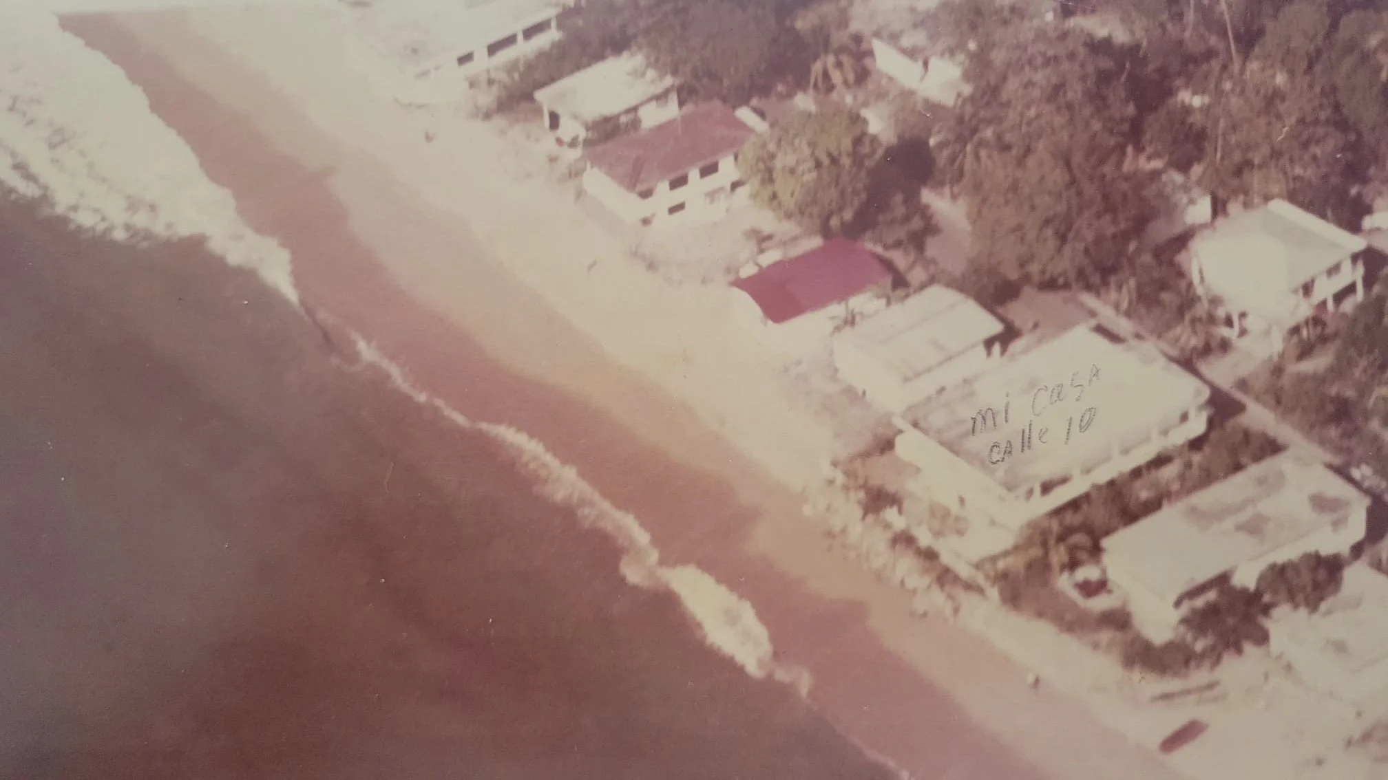
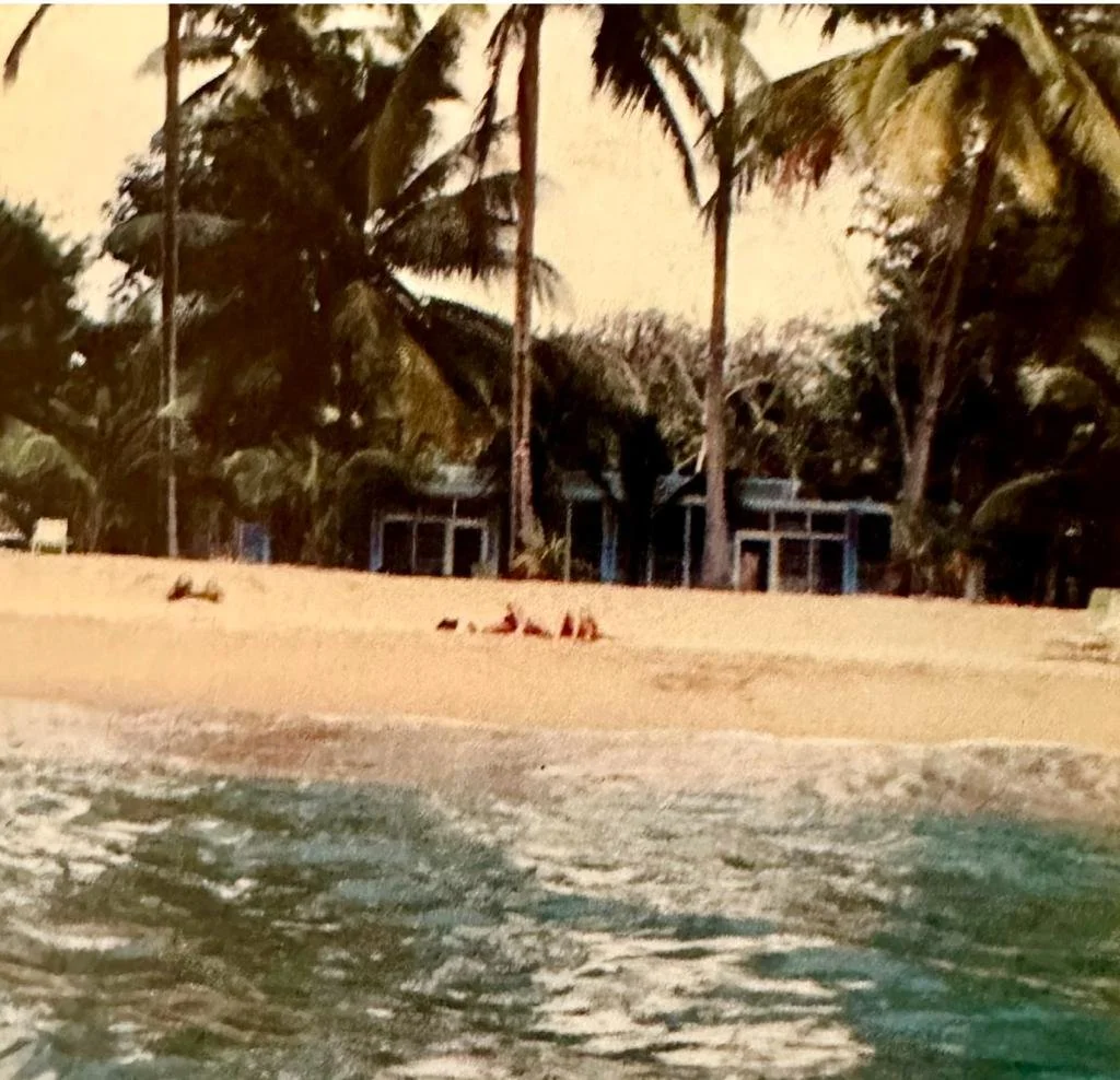
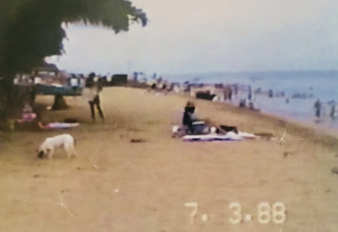
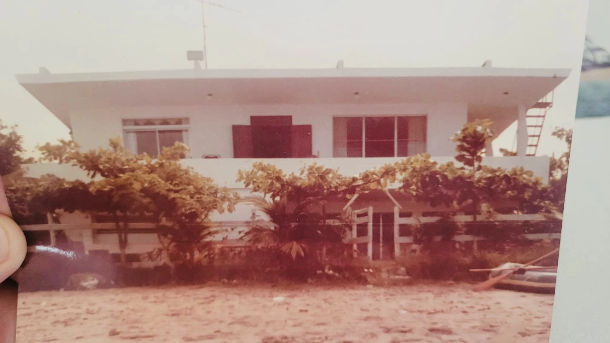
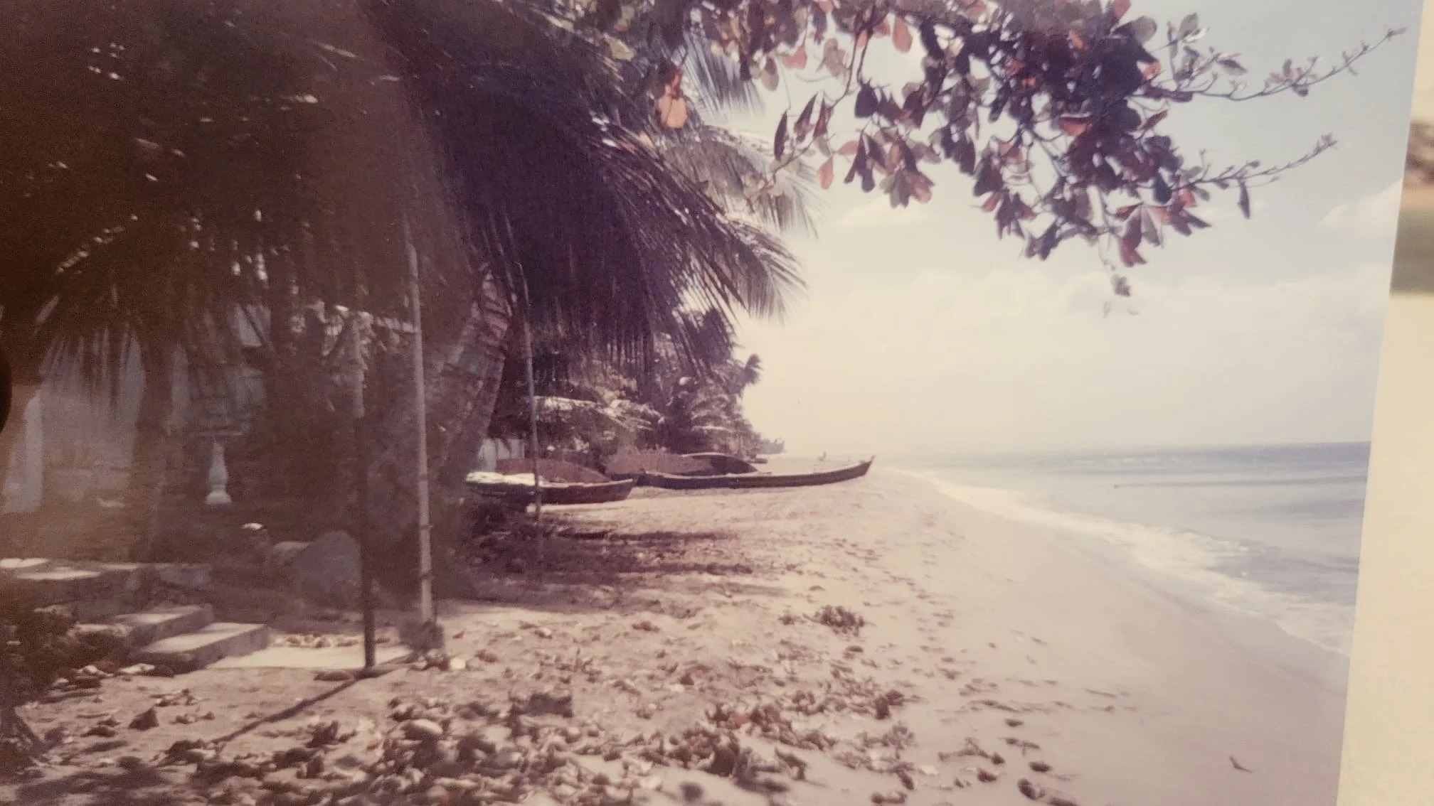
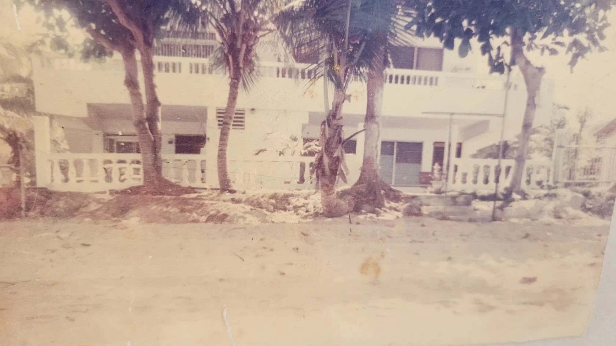
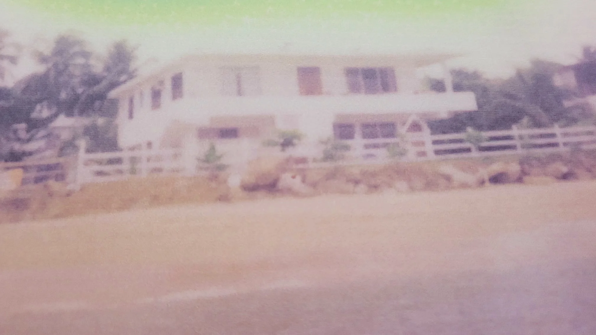
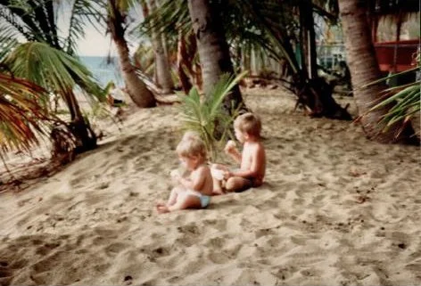
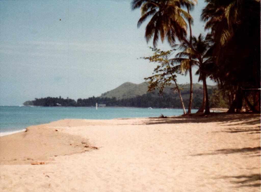
A: The properties were built, legally, in the 1950s and 1960s. See the below photo gallery as evidence of the beach coexisting in harmony decades after the development of the community. This supports the belief that natural events - hurricanes, climate change - are responsible for the diminished beach. There is no evidence to support the assertion that beachfront properties are to blame for the diminished beach.
Note: Many in the community saw an immediate negative impact on the beach after the construction of the Sea Beach canal (see above video) in the early-1990s. Heavy rains that once were allowed to trickle out to sea and barely move the sand suddenly gained the ability to rage out to sea and drag the sand, forever gone, away with it.
-
A: Yes, throughout. A few examples…
The study incorrectly states that the Bajo Blanco sand flat is located 25 miles south of Rincon. In fact, Bajo Blanco is located mere feet from the targeted acquisition zone.
The study, and subsequent social media posts, includes photos of collapsed structures that are not in the targeted zone.
The study claims that beach replenishment is too costly and environmentally risky. USACE’s tune has recently changed, with their official social media account now pushing the new theory that Bajo Blanco has an insufficient volume of sand.
USACE claims that the Quebrada Los Ramos canal was considered as a potential cause of erosion, adding “there is no current data that indicates the canal is the main cause of erosion.” However, the canal and its possible impacts has not been studied.
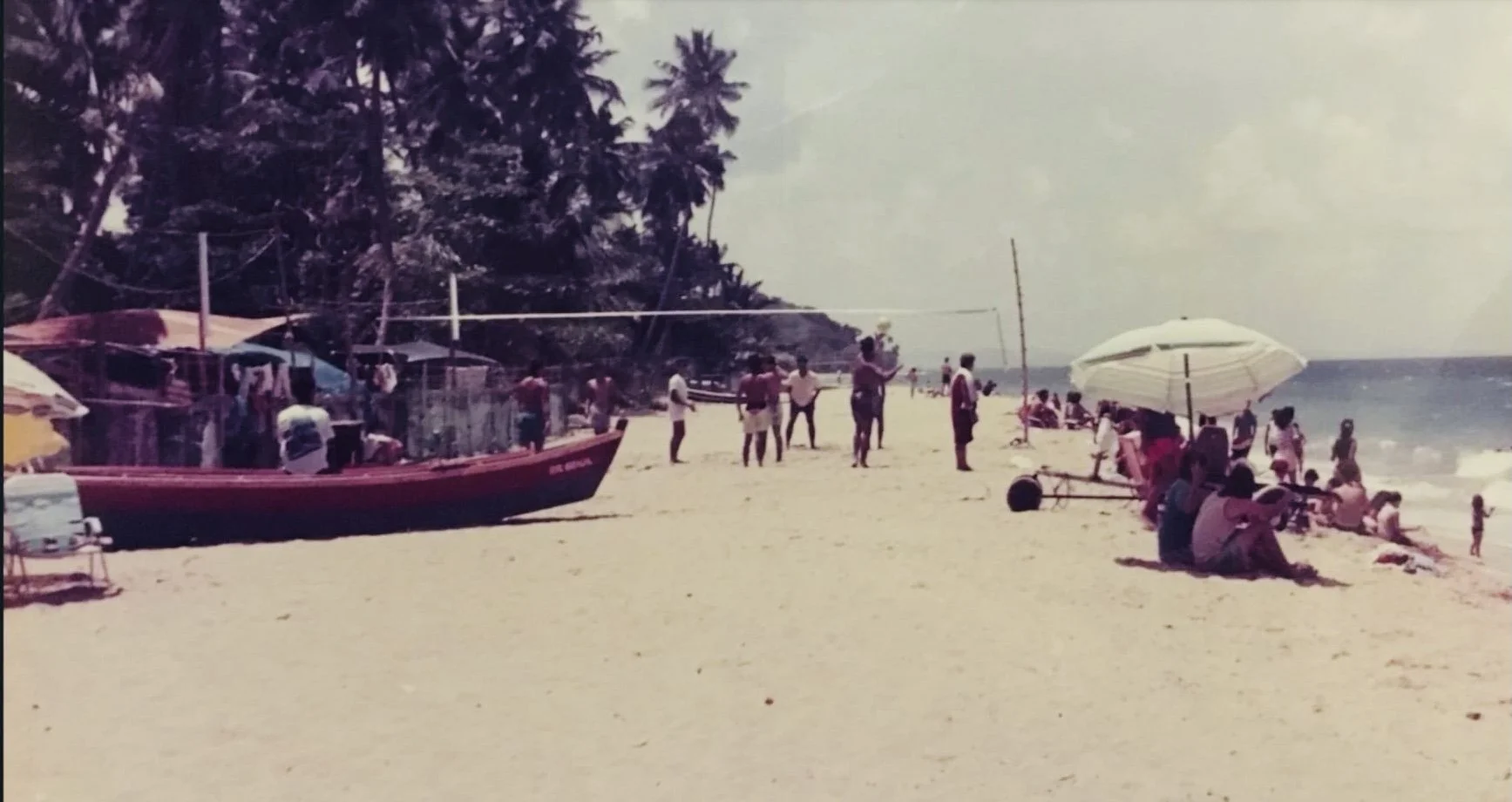
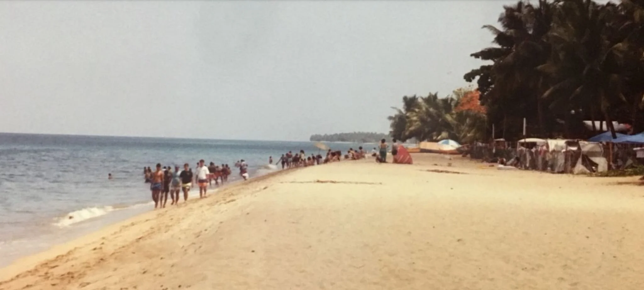
"The shoreline from Quebrada Los Ramos to Corcega generally consists of coastline with minimal to no dry beach," says USACE in their study's Appendix A Engineering. In reality, beachgoers can be viewed enjoying the dry sand beach virtually every day of the year!
Homes + Beach
Living in Harmony in the 1980s